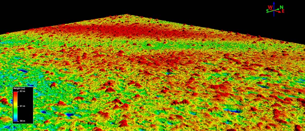
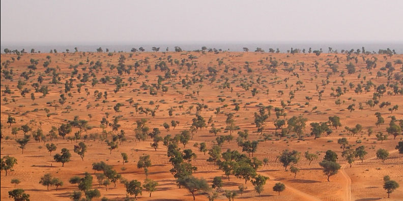
Using an artificial intelligence technique known as deep learning and high-resolution remote sensing, scientists have counted and mapped the location of trees in 11,000 satellite images covering more than 1.3 million square kilometers (500,000 square miles) of the hot dry tropical, arid, and semi-arid western Sahara and Sahel deserts of Mauritania, Senegal, and southwestern Mali. Much to their surprise, the scientists counted 1.8 billion trees—a far greater number than expected based on earlier counts, which had underestimated the number of trees. This study is important in that it established a baseline for future tree counts to aid in the monitoring of how deforestation, global climate change, and perhaps even reforestation are affecting West African ecosystems. See also: Africa; Artificial intelligence; Deforestation; Desert; Ecosystem; Reforestation; Remote sensing; Sahel; Terrestrial ecosystem; Tree; Vegetation and ecosystem mapping

Deep learning is a machine-learning technique in which a computer program, or model, is “trained” to learn from examples to solve problems. In this case, the model was trained to recognize tree canopies using a training set consisting of 90,000 satellite-imaged trees that had to be individually hand-counted and labeled—a process that took about one year. In addition, the model needed to learn what different kinds of trees and landscapes looked like. Past tree counts were essentially extrapolations made from small samples. However, using deep learning, the model simply counted and mapped all the tree canopies larger than 2 meters (6.6 feet) in diameter in a matter of hours. Such a task would be humanly impossible. In the future, the researchers suggest that the technique could be used to monitor all the trees outside of forests worldwide. See also: Machine learning


