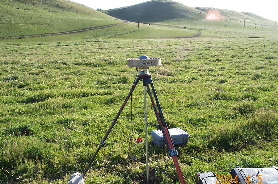
A regional or local tsunami warning system that uses both seismic and GPS stations could broadcast more prompt and accurate tsunami warnings and could potentially reduce casualties in the event of a major earthquake, according to a report in Geophysical Research Letters (February 2016). The warning system would not require any new instrumentation, as it would use instruments already deployed. See also: Earthquake; Satellite navigation systems; Seismic risk; Tsunami

At present, tsunami warning systems rely on seismic data to determine the location, depth, and magnitude of an underwater earthquake and then use this data to calculate the potential tsunami hazard and arrival time, without knowing for certain whether a tsunami will occur. Following the detection of an earthquake, it can take up to 20 minutes to issue a tsunami warning. This lag is particularly a problem when the epicenter is close to the coastline. Seismic methods have been fairly accurate in providing tsunami warnings for M8 and lower-magnitude earthquakes but less so for earthquakes greater than M8, such as the 2011 Tōhoku, Japan M9 earthquake, in which a fault 500 km long and 200 km wide ruptured over 3 minutes and a major tsunami was generated that reached the coast in less than 20 minutes. See also: Earthquake early warning; Fault and fault structures; Seismographic instrumentation; Seismology
In an underwater earthquake, the vertical movement of the seafloor at a fault pushes up a large volume of water, producing a series of waves that travel 970 km/h or faster. GPS measures fault motion by observing from satellites the positions of ground stations. In an earthquake, the seafloor deformation is calculated by determining how the stations have moved. Using GPS, tsunami warning maps could be generated within 2 minutes after the seismic detection of an earthquake and the estimated height of the tsunami waves could be calculated in less than 2 minutes, at which point a warning would be issued. See also: Geodesy


